


Serial Number: Nil Stock
|
| Historical overview from Garmin. The GNS 430 has since been superseded by the GNS 430W and the current generation GTN 650xi
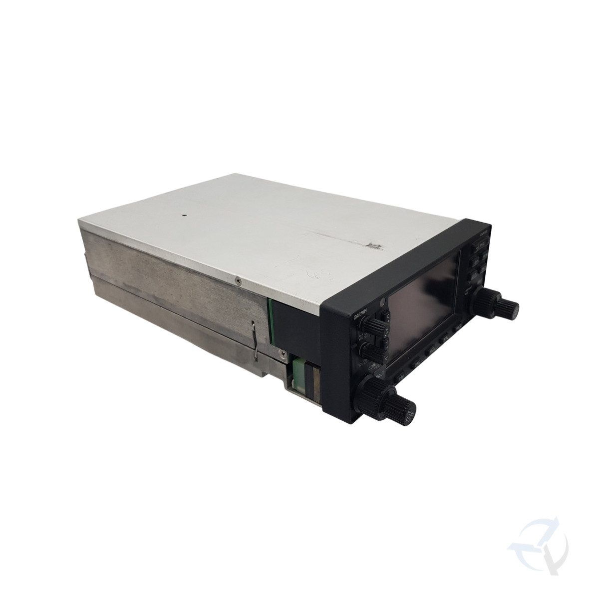
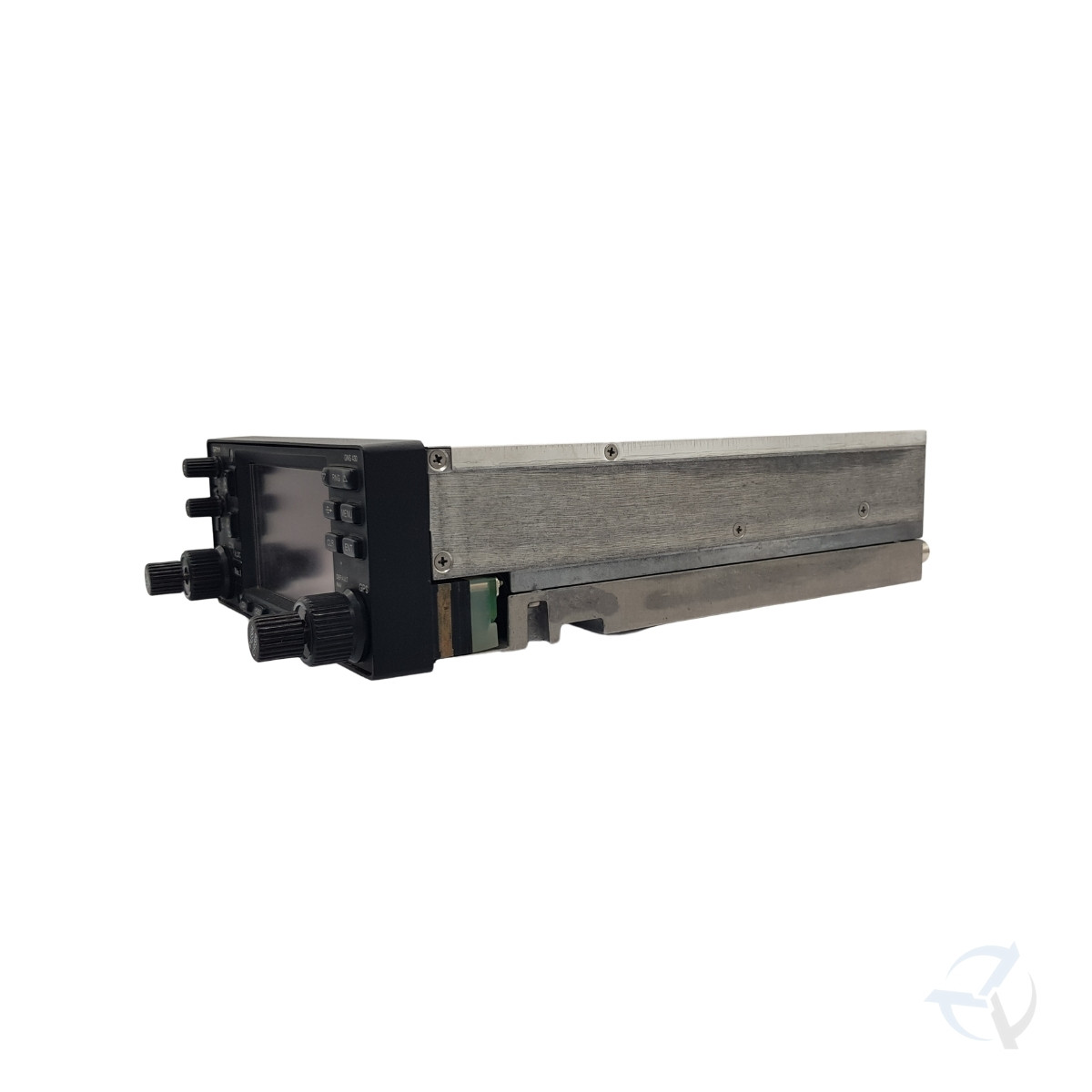
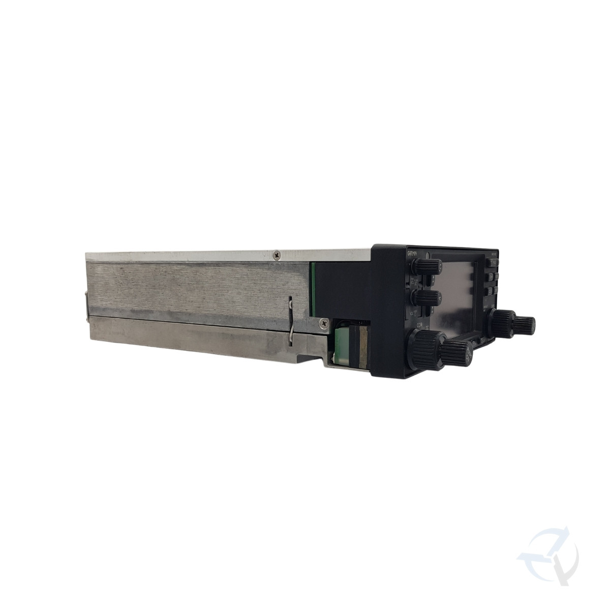
The GNS 430 and its larger sibling, GNS 530, lead the industry with multitasking, integrated avionics. The standard GNS 430 features a 10-watt comm, and for a slightly higher price, GNS 430A delivers 16 watts of power output. Both versions are available with optional WAAS navigational capabilities.
Integrate Your AvionicsGNS 430 is an all-in-one GPS/Nav/Comm solution. It features a TSO-certified GPS (c129a), 2280-channel capacity comm and 200-channel ILS/VOR with localizer and glideslope. Traditionally it would take a host of components to provide the capabilities of this one smart box. High-speed 5 Hz processing makes navigation calculations and map redraw rates five times faster than earlier GNS series navigators.
Get High-Resolution MappingGNS 430’s 4-inch high-contrast display with brilliant colors makes it easy to read and interpret pilot-critical information. Effective use of color makes it easy to see your position relative to ground features, chart data, navaids, flight plan routings, approach procedures and more. Conveniently scan information from wide viewing angles, even in direct sunlight.
Enhance Situational AwarenessGNS 430 seamlessly integrates built-in terrain and navigation databases, providing a clear, concise picture of where you are and where you’re heading. The 430’s huge Jeppesen® database, updated with front-loading data cards, contains location reference for all airports, VORs, NDBs, Intersections, Flight Service Stations, published approaches, SIDs/STARs, Special Use Airspace and geopolitical boundaries. A detailed basemap clearly shows airports, cities, highways, railroads, rivers, lakes, coastlines and more. Using information from the built-in terrain and U.S. obstacles databases, the 430 displays color coding to graphically alert you when proximity conflicts loom ahead.
Put It on AutopilotWorking in tandem with standard autopilots that accept roll-steering commands, GNS 430 behaves like a high-end flight management system (FMS) and can automatically fly your aircraft through holding patterns, procedure turns and other position-critical IFR flight procedures.
|
Reviews
There are no reviews yet.